
Phaplu and Salleri: The Road Start to Everest in Solukhumbu

Short answer: Salleri sits at about 2,400 m in Solukhumbu, with Phaplu airstrip close by, and it is where our road-trip itinerary to Everest Base Camp starts instead of Lukla. The drive from Kathmandu by private jeep takes about 8 to 9 hours. Salleri is roughly 450 m lower than Lukla, which helps acclimatisation. See our Everest Base Camp trek by road.
Almost every Everest guide starts the same way: a flight to Lukla. Our road-trip itinerary starts somewhere else, in the Solukhumbu district town of Salleri, and on the first night most guests ask the same question. Where exactly are we, and why does the itinerary say "Salleri/Phaplu"? This page answers that. It covers what the two names mean, how high the place really is, what the airstrip next door is, and where the published figures differ.
Are Phaplu and Salleri the same place?
Nearly, but not quite. Solududhkunda is the only urban municipality of Solukhumbu District, in Koshi Province. The town of Salleri sits inside it and is the district headquarters. The name joins "Solu", a river in the region, with "Dudhkunda", a lake east of that river. At the 2011 census Salleri had a population of 6,590, and the whole municipality had 24,323 people over 565.06 square kilometres after the 2018 boundary changes. Those two numbers are very different things, so do not read the second one as the size of the town.
Phaplu is the neighbour to the north. Phaplu Airport is in Phaplu, in the northern part of the municipality. By the published coordinates for the municipality and for the airport, it is about 1.5 kilometres between the two points in a straight line. That is why our itineraries write "Salleri/Phaplu" as if it were one stop. For a guest it is: you arrive, you sleep, you leave.
How high is Phaplu?
Our itinerary says 2,413 metres, and that matches the published figure. As with every village page, it is checked against a second measure rather than trusting one number.
| Source | Figure | In feet |
|---|---|---|
| Published airport figure (credited to the Civil Aviation Authority of Nepal) | 2,413 m | 7,918 ft as printed |
| Our road-trip itinerary, Day 1 | 2,413 m | 7,917 ft as printed |
| A 30-metre terrain model at the airport's coordinates | 2,443 m | about 8,015 ft |
| The same terrain model at the published coordinates for Salleri | 2,391 m | about 7,844 ft |
The one-foot difference between 7,917 and 7,918 is rounding: 2,413 metres is 7,916.7 feet. The terrain model is within about 30 metres of the airport figure either way, which is what you would expect from a 30-metre grid on a hillside. So the honest answer is about 2,400 metres. That is roughly 450 metres lower than Lukla, which our road-trip package page gives as 2,860 metres. You start walking lower, and that is the whole point of the route. If you want to know why a lower start helps, our guide to acclimatisation on Nepal treks explains it.
What is Phaplu Airport, and do you fly there?
Our guests drive, so I will be careful here and tell you only what the published pages say. Phaplu is a small domestic airport serving Solukhumbu. It opened in October 1976 (Civil Aviation Authority of Nepal), and was later broadened by Sir Edmund Hillary to take Twin Otter aircraft (his book View From The Summit). The date of that second point is unclear, so I would not repeat a year for it. The authority closed the airport in 2013 to pave the runway and it reopened a year later with a full asphalt surface.
Even the runway length is not agreed on the page. The infobox says 680 metres and the text below it says 671. Both are small. This is a short mountain strip, not a place for large aircraft.
Nepal Airlines, Summit Air and Tara Air are listed as flying to Kathmandu, with a Tara Air charter to Lukla. I can't tell you today's timetable and I won't guess one. What I can tell you is that weather closes it. Nepal News reported on 26 June 2025 that flights had resumed at Phaplu after 17 days, with operations halted since 9 June because of rain and thick fog, and that a Nepal Airlines Twin Otter carried 12 passengers in and 10 out. The article also says flight suspensions are common there.
Flights heading for Lukla are often diverted to Phaplu when the weather turns. Our guide to the Ramechhap and Lukla flights covers the other end of the same weather problem.
What do you actually do on the first night?
The itinerary for Day 1 is simple. You leave Kathmandu early in a private jeep and our itinerary gives the drive as around 8 to 9 hours. It follows the Arniko Highway east, then climbs after Lamosangu into the Solukhumbu district, where mani walls start to appear at the edge of villages. You reach Salleri in the late afternoon at 2,413 metres. The lodge is simple and dinner is served in a common room heated by a wood stove.
That is a real change from the usual Everest plan. Guests who flew to Lukla that morning are already at Phakding. You are in a district town, with shops and a bazaar, and the trek has not started. Day 2 is a jeep ride to Thamdanda and then a walk to Paiya, which joins the classic route two days later. Our Lukla-or-road guide, Lukla flight vs road to Everest Base Camp, compares the two plans in more detail.
On the way back it is Phaplu again. On Day 14 the trek ends near Thamdanda, a jeep takes you to Phaplu and the lodge has hot water and a menu that goes beyond dal bhat. On Day 15 you drive to Kathmandu. Our itinerary gives that last drive as 10 to 12 hours, which is longer than the 8 to 9 hours on the way up. Plan for the longer figure and do not book an evening flight home on the same day.
Is the road route better than the flight?
It depends what you want. Here is the trade, as I see it.
- You spend two of your fifteen days in a jeep, not in the mountains. Our package page says exactly this: two days driving, then twelve days walking.
- You start about 450 metres lower than Lukla, so the climb is more gradual.
- You do not depend on a Lukla flight at either end. You do depend on a long road, and I have no source on how that road behaves in heavy rain, so I would ask us before booking in the monsoon.
- You see lower Solukhumbu, where, according to our Day 2 itinerary text, Paiya and the villages around it see only a handful of foreign visitors each week.
If you are comparing the road start with the other overland option, our Jiri to Everest Base Camp comparison sets out the differences. The full day-by-day plan is on our Everest Base Camp trek by road page.
Is there anything to see in Salleri and Phaplu?
It is not a sightseeing stop and I will not pretend it is. Our Day 2 itinerary notes a monastery above Phaplu where young Sherpa monks study, and the municipality has two community radio stations, Radio Dudhkoshi and Solu FM. That is about all there is. If you have an hour in the evening, walk up to the bazaar, drink tea and watch the town go about its business. It is a working district headquarters, not a trekking village built for visitors.
What is the weather like?
The published climate table for the municipality is based on a station at Chialsa, 2,770 metres, which is not the same height as Phaplu, so I will not quote it as the town's weather. What I can say is that the June 2025 closure above shows how the monsoon behaves here. Our package page lists spring and autumn as the best time, and that is when I would go. For the Everest region more broadly, our domestic flights guide explains why buffer days matter whichever way you start.
The short version
Salleri is the headquarters of Solukhumbu and Phaplu is its airstrip suburb, about 1.5 kilometres to the north. The height is about 2,400 metres on every reading I could make, around 450 metres below Lukla. Our road-trip itinerary starts and ends here, with an 8 to 9 hour drive up and 10 to 12 hours back. If you want to talk through whether the road or the flight suits your dates, message me on WhatsApp on +977 9810351300.
Written by Shreejan Simkhada, CEO of The Everest Holiday, from a family of three generations of family guides. TAAN Member #1586. Last updated 3 October 2026.
Planning a trip to Nepal?
Drop us your details and tell us what you have in mind. We will put together a personalised plan and get back to you.
Not sure which Nepal trek is right for you?
Take our free 2-minute quiz and get personalised recommendations based on your fitness, experience, and travel style.
Find Your Perfect Trek →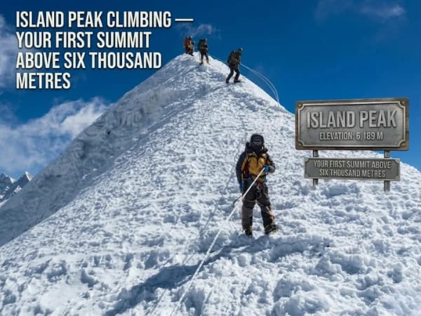
Island Peak Itinerary and Summit Day 2027: 14 Days, Base Camp to the Top
The 14-day Island Peak itinerary day by day, what summit day is like from base camp, where sources disagree on heights, best months and 2027 prices.
Read More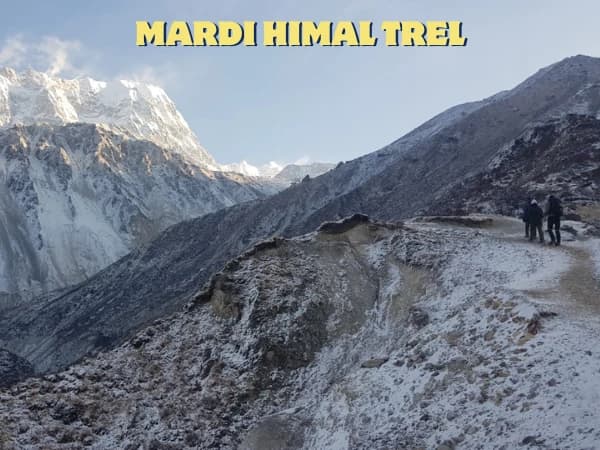
How Difficult Is the Mardi Himal Trek? An Honest Day-by-Day Rating for 2027
An honest day-by-day rating of the Mardi Himal trek: the steep climb to High Camp, the 4,500 m push to Base Camp, altitude risk, who finds it hard and 2027 prices.
Read More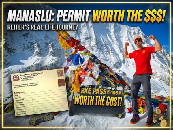
Manaslu Circuit Reopened: What Changed After the 2026 Floods and How to Plan 2027
The Manaslu Circuit over the Larke Pass is open again with extreme caution. What changed in the lower valley after the two 2026 floods, 2027 prices and permits, and how I would plan.
Read More Chat with Shreejan