
Pangkongma on the Mera Peak Approach: Village Guide for 2027

Updated 23 October 2026.
Short answer: Pangkongma is the village where our Mera Peak climb sleeps on night 2. Our itinerary puts it at 2,850 m (9,350 ft), a 6 km walk from Paiya (2,730 m) of usually 5 to 6 hours, with only about 120 m of height gain. Outside itineraries give 2,846 m or 2,850 m. The next day is the long one, 7 km and 426 m up to Ramailo Danda (3,276 m). Our 14-day Mera Peak climb costs USD 3,800 Budget, USD 5,110 Standard and USD 9,999 Luxury per person for two to four people.
I am Shreejan. Most Mera Peak write-ups give Pangkongma one line in a day table and move on. It is a small village on a hillside, and the night here is easy, but the days either side of it are where the climb really starts. Here is what I know about it from our itinerary and from the other itineraries I checked.
Where is Pangkongma, and why does it have so many spellings?
Pangkongma is a hill village on the southern approach to Mera Peak. You reach it from Lukla by walking south through Paiya, away from the Everest Base Camp path. This is the start of the Hinku valley route, not the Namche route.
You will see it written Pangkongma, Pangkoma, Panggoma and Pangom. I use Pangkongma, as our Paiya blog does. Our itinerary writes it Pangkoma. They are the same place, so try both if you search for it.
Pangkongma at a glance
| Item | Our itinerary figure |
|---|---|
| Height | 2,850 m / 9,350 ft |
| Night on our climb | Night 2 of 14 |
| From Paiya (2,730 m) | 6 km, usually 5 to 6 hours, about 120 m of height gain |
| On to Ramailo Danda (3,276 m) | 7 km, usually 6 to 7 hours, 426 m of height gain |
| Where you sleep | A local teahouse or lodge |
| Altitude risk | Low. You sleep at about the height of Lukla (2,860 m) |
| Permits for the climb | NMA climbing permit, Makalu-Barun National Park entry and TIMS, arranged by us |
How high is Pangkongma, and do the sources agree?
Mostly, with one exception. Our itinerary says 2,850 m. A Mera Peak itinerary from White Magic Adventure also gives Pangkongma as 2,850 m. Nomadic Adventures gives 2,846 m. Those are four metres apart, which I treat as the same number.
The odd one is the Armchair Mountaineer page, which writes "Pangkongma (3,178 m)". I think that is the Pangkongma La, the pass above the village, which White Magic Adventure gives as 3,174 m. The village itself is not at 3,178 m. I have also seen 2,900 m quoted in search snippets, but I could not open a page that gives it, so I have not used it.
The walking time differs too. We say 5 to 6 hours from Paiya. White Magic Adventure says 6 to 7 hours on the same day, though it starts from Paiya at 2,800 m, not our 2,730 m. Paiya is a spread-out village, so where you start counting changes the number. Plan on a full day either way.
What is the walk from Paiya like?
You start the day at 2,730 m and end it at 2,850 m, so on paper it is flat. It is not flat. Nomadic Adventures describes the route this way: you cross the Paiya Khola, leave the main trade route and join an older trail that climbs steeply to a ridge above the Khare Khola, then contours the hillside to the village. The net height gain is small because you go up and down more than once.
That is why the day takes 5 to 6 hours for 6 km. It is slow walking on a steep, uneven path through forest and farmland. Poles help, and so does leaving early.
It is also your second day of walking after an early flight, so go slowly. Nobody wins a prize for reaching Pangkongma first.
What is it like to stay there?
It is a farming village, and the lodges are simple. I will not make it sound bigger than it is. Expect a plain room, a dining room with a stove, dal bhat, noodles, eggs and tea. Nomadic Adventures says guests are welcomed by local families and can warm up by an open fire in traditional homes.
At 2,850 m the nights are cool, not cold. Phone signal and charging depend on the lodge. I would not promise either.
Tiers matter here. On Budget you share a room, you buy your own food and you carry your own bags (about USD 15 to 25 a day on food). On Standard you get a private room, all meals and one porter for every two climbers, which means 10 kg each. On Luxury you get a private deluxe room, all meals and drinks, and your own porter who carries up to 20 kg of your bag. Kathmandu hotels are not in any tier.
What happens on the day after Pangkongma?
This is the day to respect. You walk 7 km to Ramailo Danda (3,276 m) and gain 426 m, usually in 6 to 7 hours. That is more than three times the height gained on day 2.
Outside itineraries describe a pass on this stretch called the Pangkongma La, given as 3,174 m by White Magic Adventure. They say it is where you first see Mera Peak, and that it separates the Dudh Kosi valley from the Hinku. I have not matched that pass to the exact day on our plan, so I will not tell you where on the trail you will stand when you see it. Your guide will point out the first view when it comes.
After Ramailo Danda the route drops to Chetrakhola (3,150 m) on day 4 and climbs to Kothe (3,600 m) on day 5. Read my Kothe guide for that part.
Will I feel the altitude at Pangkongma?
Almost certainly not. You sleep at 2,850 m, about the same as Lukla at 2,860 m. Altitude sickness can affect anyone above about 3,000 m, and you are below it.
The risk begins on day 3, where you sleep at 3,276 m. From there our plan climbs on to Kothe (3,600 m), Thaknak (4,350 m) and Khare (5,045 m), then spends a full day at Khare. I wrote about how the whole climb is paced in the 14-day Mera Peak itinerary and about the symptoms in my altitude sickness guide.
Insurance must cover the summit. Mera Peak is 6,476 m, so I tell guests to buy cover to 6,500 m, including helicopter evacuation, in their home country.
When is the best time to be in Pangkongma?
The month-by-month view from our Mera Peak page. The rainfall is the Department of Hydrology and Meteorology record for Lukla, 1991 to 2020. Pangkongma is a different hillside, so treat it as a guide to the pattern, not a forecast for the village.
| Month | On the approach | Lukla rain | NMA royalty |
|---|---|---|---|
| January, February | Very cold. Only for experienced, well-equipped teams | not listed on our page | USD 175 |
| March | Spring season begins, warmer days | 45.3 mm | USD 350 |
| April | Main season, stable snow higher up | 58.7 mm | USD 350 |
| May | Still main season, rain building | 127.6 mm | USD 350 |
| June to August | Monsoon. Cloud, wet trail, avalanche risk higher up. I advise against it | 324.8, 529.8, 641.8 mm | USD 175 |
| September | Clearing but still wet | 419.0 mm | USD 175 |
| October | Clear and cold, second season | 102.9 mm | USD 175 |
| November | Clear and cold, almost no rain | 6.2 mm | USD 175 |
| December | Dry and cold, for experienced teams | not listed on our page | USD 175 |
How do I get to Pangkongma, and what does it cost?
You fly from Kathmandu to Lukla (2,860 m) on day 1 and walk to Paiya, then Pangkongma on day 2. The flight is weather-dependent and can be delayed by a day. In peak season (roughly 15 March to 15 May and 25 September to 30 November) flights may leave from Manthali instead of Kathmandu. See my Manthali airport guide, and keep two buffer days at the end of your trip.
The price of our Mera Peak Climbing, 14 days is from USD 3,800 Budget, USD 5,110 Standard and USD 9,999 Luxury per person for two to four people. Solo is USD 4,835, USD 6,010 and USD 9,999. Every climb is private, with a group size of 1 to 20. The NMA royalty (USD 350 in spring, USD 175 in other seasons) is included in the price.
You also pay for your Kathmandu hotel and your international flight. The deposit is 10 per cent, and you pay the balance in Kathmandu in USD or EUR. Card carries 3.5 per cent and cash in Kathmandu carries none. We do not take Nepali rupees from foreign clients.
The park fee for Makalu-Barun National Park is NPR 3,000 per person and the TIMS card is NPR 2,000, per the Nepal Tourism Board. We arrange both and they are included. The full breakdown is in my Mera Peak cost and permits guide.
Questions people ask
How high is Pangkongma?
2,850 m (9,350 ft) on our itinerary. Other itineraries give 2,846 m or 2,850 m for the same village.
How long is the walk from Paiya to Pangkongma?
6 km, usually 5 to 6 hours on our plan. One other operator says 6 to 7 hours, so allow the longer figure.
Is Pangkongma on the Everest Base Camp trail?
No. It is on the southern Hinku valley approach to Mera Peak. You leave the Everest trail at Lukla and walk south.
Do I need to worry about altitude sickness at Pangkongma?
Very unlikely. You sleep at 2,850 m, about Lukla height. The nights to watch are higher up, from Ramailo Danda (3,276 m) onward.
Is Pangkongma the same place as Pangkoma?
Yes. The spelling varies between operators and maps. Panggoma and Pangom also appear.
Can I do this approach without a climb?
Our Mera Peak itinerary is built as a climb, and I do not run a separate Pangkongma-only trek. If you want the Hinku valley without the summit, message me and I will tell you what I would plan.
Do I need a guide for the Mera Peak approach?
Yes. The climb is private and led by our licensed climbing guides, and the NTB lists Mera Peak among the routes where a guide and TIMS card are required. You cannot climb alone.
What should I read next?
Start with Paiya, the night before, then Thaknak and Thuli Kharka for the high end of the route.
If you want to plan a Mera Peak climb for 2027, message me on WhatsApp on +977 9810351300 with your dates, how many of you there are and your experience, and I will reply with a quote.
Planning a trip to Nepal?
Drop us your details and tell us what you have in mind. We will put together a personalised plan and get back to you.
Not sure which Nepal trek is right for you?
Take our free 2-minute quiz and get personalised recommendations based on your fitness, experience, and travel style.
Find Your Perfect Trek →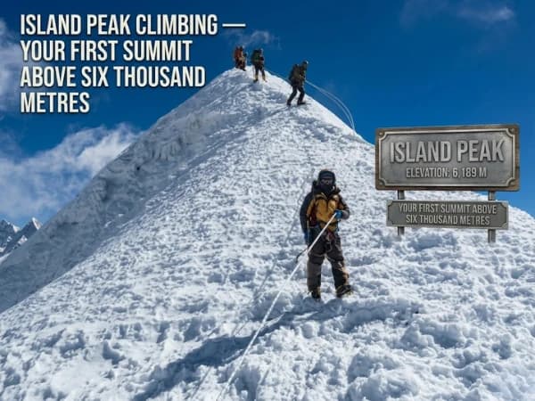
Island Peak Itinerary and Summit Day 2027: 14 Days, Base Camp to the Top
The 14-day Island Peak itinerary day by day, what summit day is like from base camp, where sources disagree on heights, best months and 2027 prices.
Read More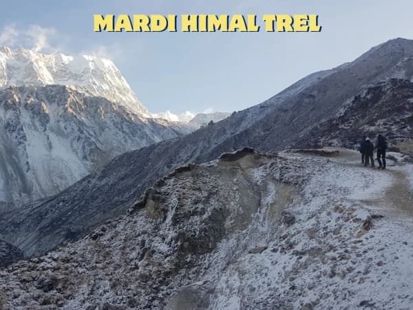
How Difficult Is the Mardi Himal Trek? An Honest Day-by-Day Rating for 2027
An honest day-by-day rating of the Mardi Himal trek: the steep climb to High Camp, the 4,500 m push to Base Camp, altitude risk, who finds it hard and 2027 prices.
Read More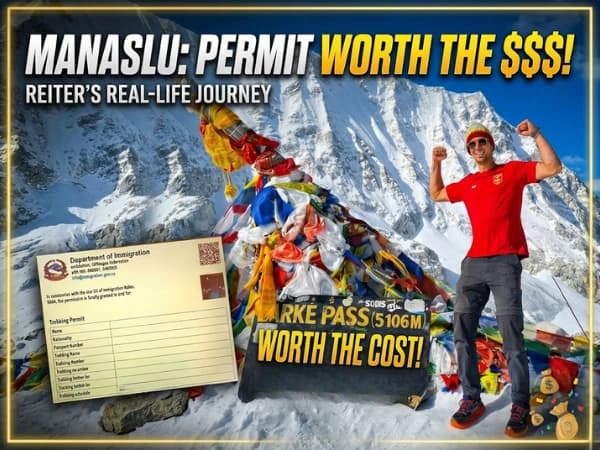
Manaslu Circuit Reopened: What Changed After the 2026 Floods and How to Plan 2027
The Manaslu Circuit over the Larke Pass is open again with extreme caution. What changed in the lower valley after the two 2026 floods, 2027 prices and permits, and how I would plan.
Read More Chat with Shreejan